Survey data sets
CDI Data Discovery and Access service
Read more
The EMODnet-Bathymetry portal is being developed in the framework of the European Marine Observation and Data Network (EMODnet) as initiated by the European Commission.
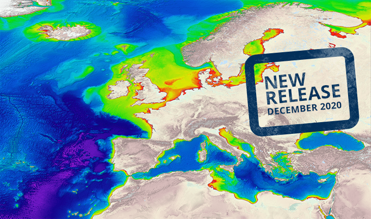
It provides a service for viewing and downloading a harmonised Digital Terrain Model (DTM) for the European sea regions that is generated by the EMODnet Bathymetry partnership on the basis of an increasing number of bathymetric data sets. These are managed as survey data sets and composite DTMs by data providers from government and research. Services for discovery and requesting access to these data sets are provided as well. Read more
20 December 2021
2 September 2021
13 January 2021
11 January 2021
New EMODnet DTM released with higher resolution of 1/16 * 1/16 arc minutes grid.
Please have a look at the Atlantic Discovery animation.